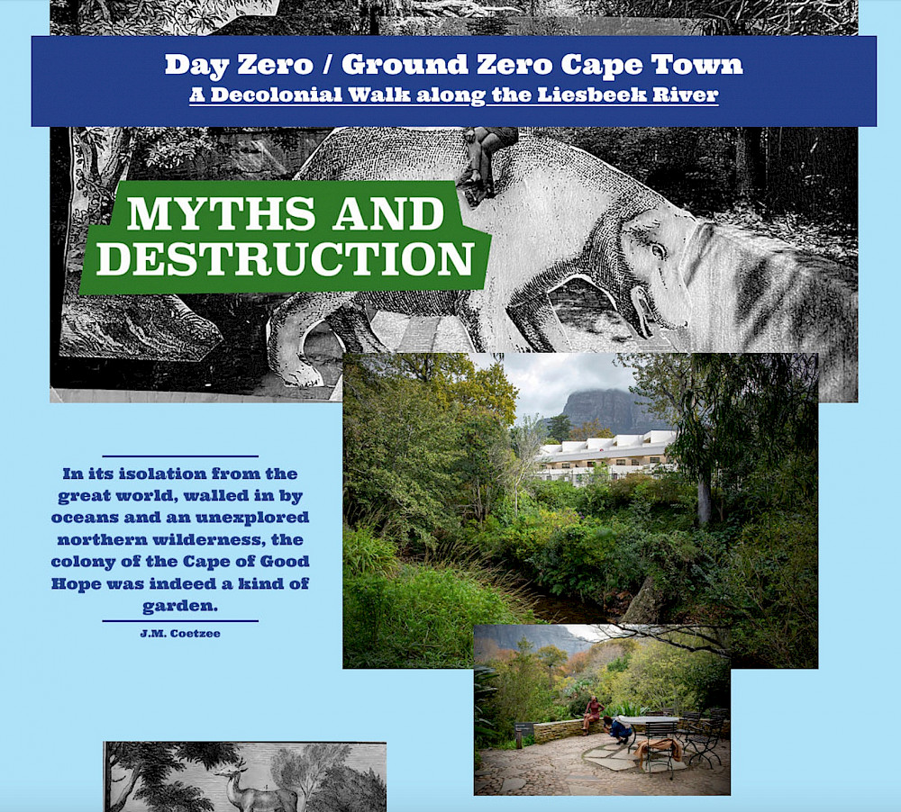
Day Zero / Ground Zero Cape Town: A Decolonial Walk along the Liesbeek River
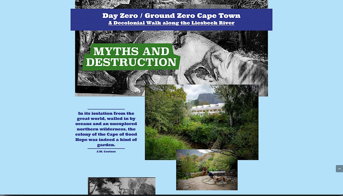
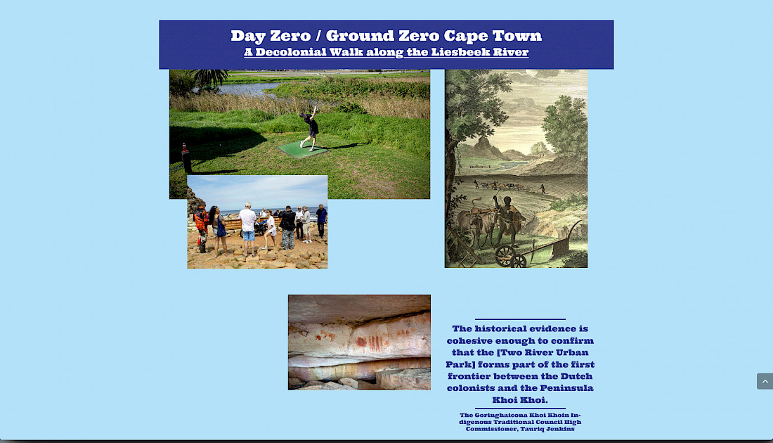
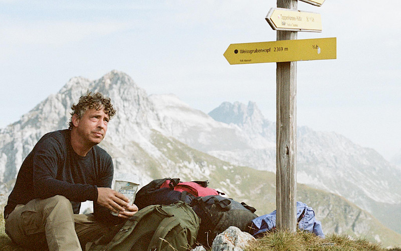
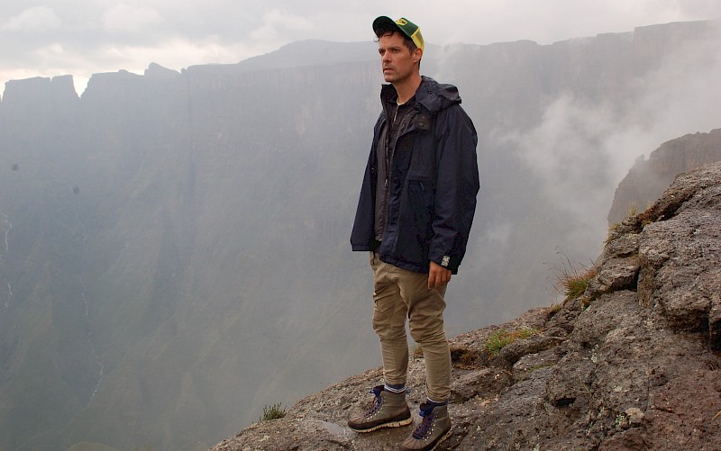
This is a story about a river in Cape Town, South Africa: its colonial past and its Anthropocene future. It takes shapes as a 9 km–long walking conversation between photographer Dirk-Jan Visser, historian Christian Ernsten, both from the Netherlands, and South African archaeologist Nick Shepherd.
As a kind of fourth companion, and historical interlocuter, we walk with Peter Kolb (1675–1726), the first known scientific explorer of the Cape of Good Hope – or, more precisely, with his writing. As such, we walk and read the Cape across time. Travel writing about the Cape of Good Hope is in many ways exemplary. As a result of scientific travel and the desire for inland colonial expansion to the Cape, it became a place where shifting relations between locals and newcomers played out with particular dramatic force.17
During the first decennia of the 17th century, Kolb mapped and described the Cape landscape, its rivers, and its people. While walking and reading his work, we confront the question: What would constitute a decolonial reading of Cape Town’s river landscape?
Co-researchers: Christian Ernsten (Maastricht University) / Nick Shepherd (Aarhus University)
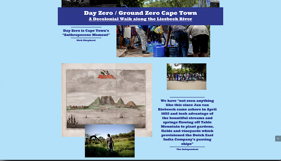
“We have not seen anything like this since Jan van Riebeeck came ashore in April 1652 and took advantage of the bountiful streams and springs flowing off Table Mountain to plant gardens, fields and vineyards which provisioned the Dutch East India Company’s passing ships”
The Independent
